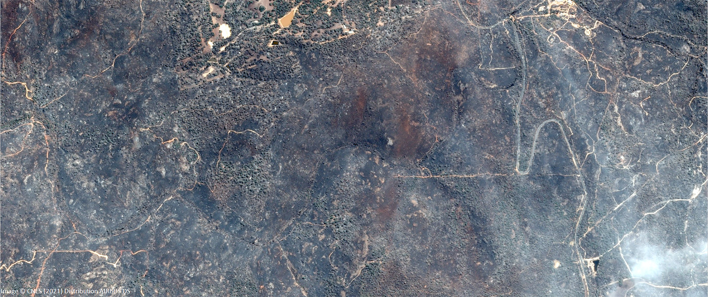
AI advances in imagery feature extraction

Artificial Intelligence (AI) seems to be everywhere. A quick Google News search for “Artificial Intelligence” returns over 89 million articles on everything from how AI is taking over from humans, to how it is helping cure cancer. If you are reading this article then you’re probably interested in remote sensing, satellite imagery and the broader …