

Location Intelligence
Since 2002 Geospatial Intelligence Pty Ltd has been providing award winning geospatial solutions to our clients in the public and private sectors. Using satellite data allows our services to be globally consistent, repeatable and traceable, providing you with the reliable, high quality information to make decision with.

Remote Sensing
Being able to monitor, analyse and record operations remotely can assist in both reducing operational costs and increasing transparent and accountable oversight. Using satellite imagery and advanced analytics, GI is able to provide clear, measurable, and globally consistent remote sensing services that can
- Monitor daily operations
- Identify and measure ore and other stockpiles
- Monitor construction and decommissioning activities
- Identify ground movement, including subsidence
By using Optical and Synthetic Aperture Radar (SAR) satellites, GI is able to image, analyse and deliver results globally, in almost any weather, without the need for costly sites visits.

Environmental Services
Clear, measurable, and globally consistent environmental assessments are important to sustainable operations and are becoming increasingly more significant in meeting the expectations of stakeholders. Using satellite imagery, GI is able assist you in your carbon neutrality journey by providing environment management services including;
- mapping of vegetation and regrowth
- change detection and site regeneration monitoring
- mapping water and flood risk, and providing subsidence and site health assessments
Using space-based sensors, our technology can provide data about locations anywhere in the world within days, providing timely information and reducing the operational costs associated with onsite visits and managing multiple suppliers.
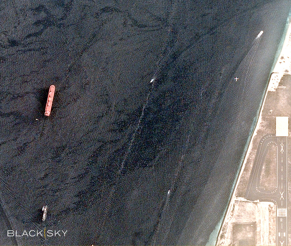
Risk Management and Market Intelligence
Our decision support products provide targeted location intelligence, providing our clients with information they need to make informed choices.
Our unique solutions combine
- Satellite imagery
- Automatic Identification System (AIS) vessel tracking data
- Geospatially enhanced open-source data from news, social media and other sources
- Advanced analytics such as port monitoring and disaster response services
Into a unified intelligence service that can
- assist in the management of workforce risk and duty of care,
- provide relevant global trade and geopolitical information,
- aid in assessments of the global market and the potential impacts on your global operations.
